Suche
«Geographie ist eigentlich ein mega trauriges Fach»
Dieser Aussage einer Geographie-Lehrperson der Sekundarstufe I gehen wir vom Team «Geography Teacher Training» in der aktuellen Ausgabe der GeoAgenda nach und fragen: Wie können wir globale Herausforderungen im Fachunterricht thematisieren, ohne primär zukunftspessimistische Gedanken auszulösen?
“Thermal Lens”: Explaining thermal remote sensing in a podcast series
Identifying urban heat islands or monitoring plant health from space are just two examples of applications of thermal remote sensing. In this new podcast series, experts discuss topics ranging from satellite mission design and products from both traditional and new space perspectives, and applications in agronomy and urban planning and more.
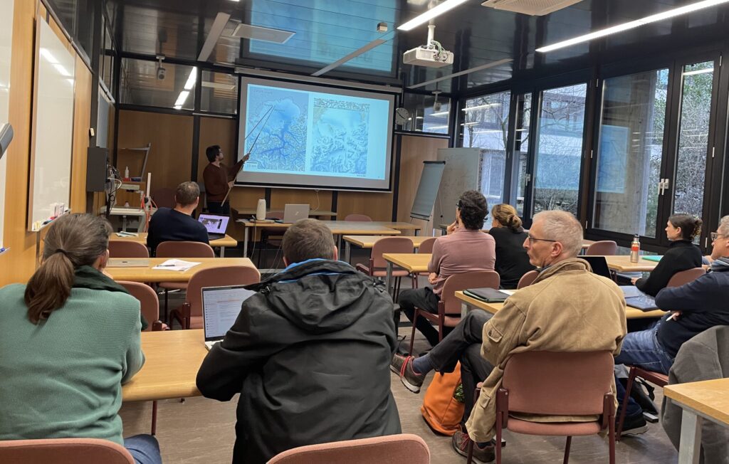
«Coming Home» ans GIUZ – ein voller Erfolg
35 Geographie-Lehrpersonen aus den Kantonen Zürich, Schwyz, Schaffhausen, St. Gallen und Thurgau verbrachten einen Nachmittag am GIUZ und erhielten Einblick in die grosse Vielfalt der Themen und Aktivitäten am Institut.
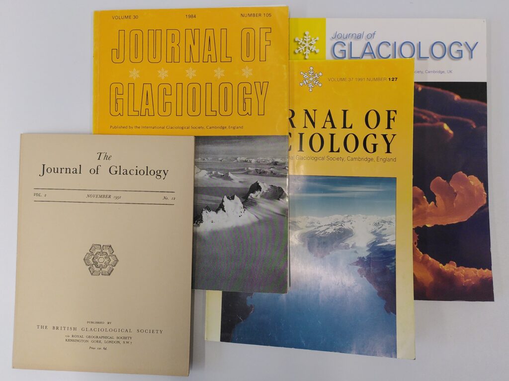
More than 70 years of glacier research in one room
The library of the World Glacier Monitoring Service (WGMS) offers a rich collection of glaciology books and journals, including an almost complete Journal of Glaciology series dating back to 1947. Visit us on Campus Irchel in room Y25-H-84 and immerse yourself in decades of glaciological research.

Integrating socially meaningful research into university teaching: A new toolkit
ZÜRI URBAN, the teaching-research initiative of the Social Geography and Urban Studies group, published a comprehensive toolkit to support social science educators in integrating collaborative research into university curricula.

In 30 Tagen durch die Schweiz – Einblicke in ungeahnte Orte
Noch auf der Suche nach einem Last-Minute-Weihnachtsgeschenk? Wie wäre es mit einer Entdeckungsreise durch die Schweiz? Abseits der ausgetretenen Pfade führen 30 Essays durch das kleine Stadt-Agglo-Alpenland.
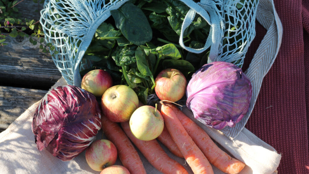
Bring Farbe in den Winter: Der Food Hub am Irchel
Direkt am Arbeits- bzw. Studienort ökologisch und regional produzierte Lebensmittel wie Obst, Gemüse, Eier, Milch und vieles mehr beziehen? Und das ganz bequem, flexibel und nachhaltig? Der Food Hub am Campus Irchel macht’s möglich – ein Angebot der Sustainability Task Force des GIUZ.

«Man hat absolut keine Kontrolle»
Ich studiere Geographie im Master und habe kürzlich als Proband an der 83. ESA Parabelflugkampagne in Bordeaux teilgenommen – eine einzigartige Erfahrung! Das Experiment des UZH Space Hub untersuchte die Krümmung der Wirbelsäule während verschiedener Schwerkraftphasen.

Study geochronology in one of Switzerland’s most spectacular landscapes
How can we determine when certain landscape changes took place? What are appropriate dating techniques? How should they be interpreted? And what does this mean for the reconstruction of past climates? These were some of the guiding questions of the 14th edition of the Geochronology Summer School in Morteratsch.

“Every tenth of a degree counts”
The One Planet Polar Summit in Paris brought together representatives from science, business, civil society, and politics from more than 40 glacier and polar countries. The aim was to share the latest findings in cryosphere and glacier research and to close the gap between science and politics in view of the climate crisis.