Remote sensing field work with ground contact
In remote sensing, we acquire information about objects or phenomena on Earth without making physical contact with them. We work with data from satellites, aircrafts and drones, but we also collect data in the field.
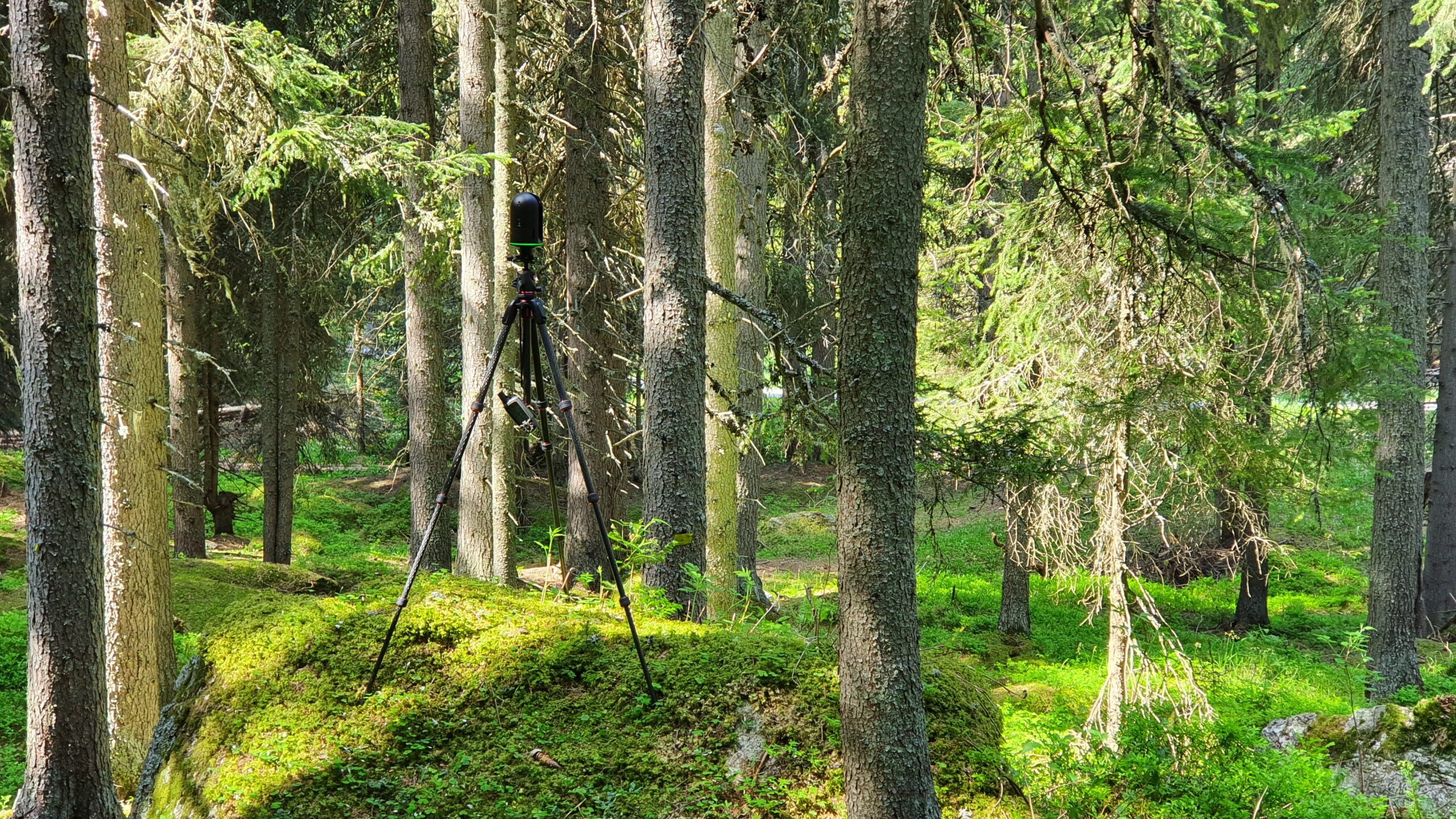
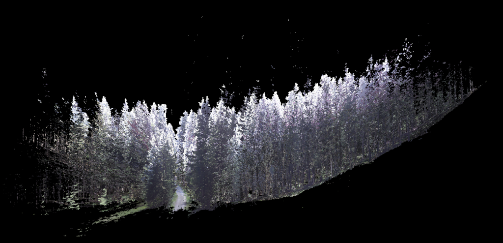
We use these data to calibrate our sensors and to produce, for example, 3D virtual environments. During our recent flight campaign with the fluorescence spectrometer HyPlant at the ICOS forest site in Davos, we measured distances between needles, branches and stems using a terrestrial laser scanner. The resulting information of the point clouds can readily be used to reproduce the 3D forest structure in physical models and help us to advance estimates of forest gas exchange from aircrafts and satellites.
More information about the project
Jasmin Kesselring, Veronika Oehl and Joan Tracy Sturm
Related blog post
A 3D view on breathing forests
125 GIUZ Blog, 24.02.2020